NASA, on behalf of the National Oceanic and Atmospheric Administration (NOAA), has selected L3Harris Technologies Inc. of Fort Wayne, Indiana, to develop the imager for NOAA’s Geostationary Extended Observations (GeoXO) satellite program.
Related posts
-

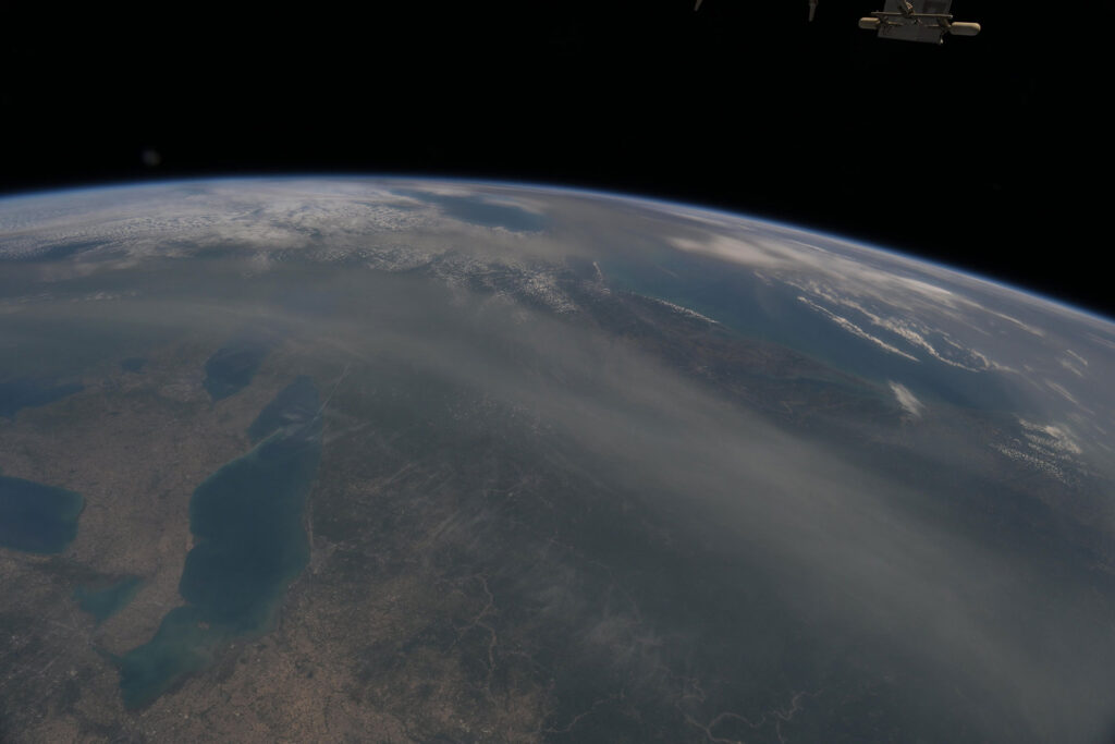
Astronauts track huge dust clouds over Canada and US | On the ISS this week June 2-6, 2025
Preparations for the arrival of a visiting crew, the continued study of how humans adapt to... -

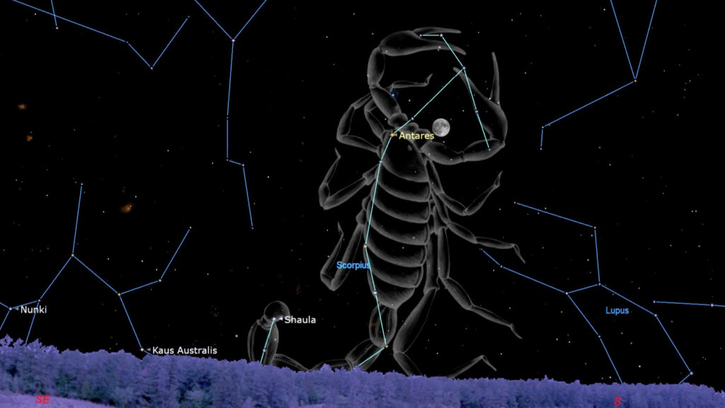
See the moon shine with famous red star Antares in the southern sky on June 9
The waxing gibbous moon will shine close to the red star Antares in the constellation Scorpius... -

China’s Tianwen 2 spacecraft sends home 1st photo as it heads for mysterious ‘quasi-moon’ asteroid
China has released a first picture of its Tianwen 2 mission as the spacecraft heads for...