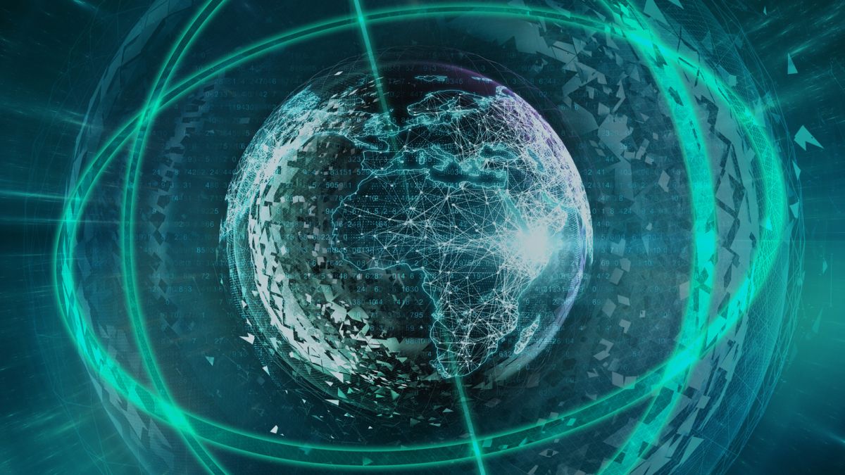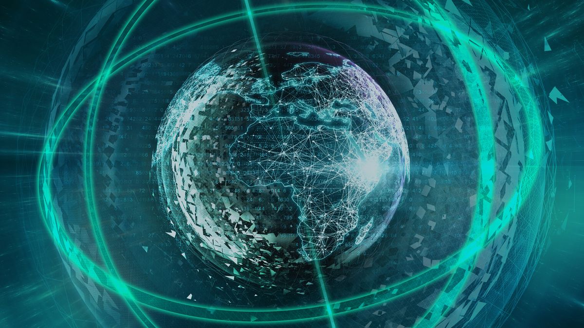
A digital replica of Earth could help scientists better model the future of our planet and find solutions to problems wrought by climate change.
The advanced model, dubbed Digital Twin Earth, is being developed by the European Space Agency (ESA) and its partners based on data and images from Earth-observation satellites and sensors on the ground. To run reliably, the project will require new advanced artificial intelligence algorithms and powerful supercomputers, which are currently being developed.
ESA and its partners discussed their progress in the runup to the UN Climate Change Conference COP26, a two-week event that’s currently taking place in Glasgow, Scotland.
Related: 10 devastating signs of climate change satellites can see from space
ESA launched the Digital Twin Earth project in 2020 and invited researchers and tech companies from across Europe to present their progress during an event called PhiWeek, which took place Oct. 11 to Oct. 15.
The goal of this planetary megamodel is to simulate the effects of various natural processes and human activities on the planet and model scenarios of future evolution. For example, scientists might be able to model how replacing fossil fuel energy generation in a certain region with renewable power plants changes concentrations of greenhouse gases in the atmosphere and how that shift, in turn, affects the rate of sea level rise.
At the PhiWeek conference, ESA’s partners introduced several partial models, smaller-scale ‘twins’ focusing on various regions of Earth or the planet’s subsystems.
For example, a digital model of Antarctica is being developed by a team led by scientists from the University of Edinburgh in Scotland.
Antarctica holds 60% of all Earth’s freshwater, the scientists said in a statement. If all that ice melted, global sea levels would rise by a whopping 190 feet (58 meters). The digital twin will help researchers better understand the state of the ice sheet and study the thawing process.
“By harnessing satellite observations, numerical simulations and artificial intelligence, we have built a twin of the Antarctic ice sheet system, its hydrology, surrounding ocean, atmosphere and biosphere,” said Noel Gourmelen, a cryosphere scientist at the University of Edinburgh in the ESA statement. “We have used the Antarctic twin to track the whereabouts of melt water on and under the ice sheet, and to explore how fringing ice shelves melt under various hydrology scenarios.”
Other partial twins focused on the hydrology of the Por River Basin in northern Italy and modelling droughts in Africa.
The Digital Twin Ocean, developed by the National Institute for Ocean Science in France, looks at the interplay between the changes in the atmosphere and the behavior of the oceans. The scientists will use this model to study the so-called Arctic amplification, a little-understood phenomenon that sees the northern polar regions warm twice as fast as the rest of the world.
The models are designed to be easily accessible even to users without advanced technical knowledge of Earth observation and climate modelling. Policy makers should be able to use these models to visualize changes in ecosystems and model consequences of various decisions, researchers said.
Related stories:
For example, the Digital Twin Food Systems simulates how agricultural activities interfere with the wider natural system but also models the effects of climate variations on food production.
The Forest Digital Twin aims to create the most detailed and realistic model of global forest cover and study the various functions forests play in the life of the planet including storing the climate-warming carbon dioxide.
Follow Tereza Pultarova on Twitter @TerezaPultarova. Follow us on Twitter @Spacedotcom and on Facebook.
