NASA and the U.S. Geological Survey (USGS) will map portions of the southwest United States for critical minerals using advanced airborne imaging.
Related posts
-
Venus is at its farthest from the sun on June 1: Here’s how to see the bright ‘morning star’ this weekend
Venus reaches its point of greatest western elongation on June 1, at which time the dazzling... -
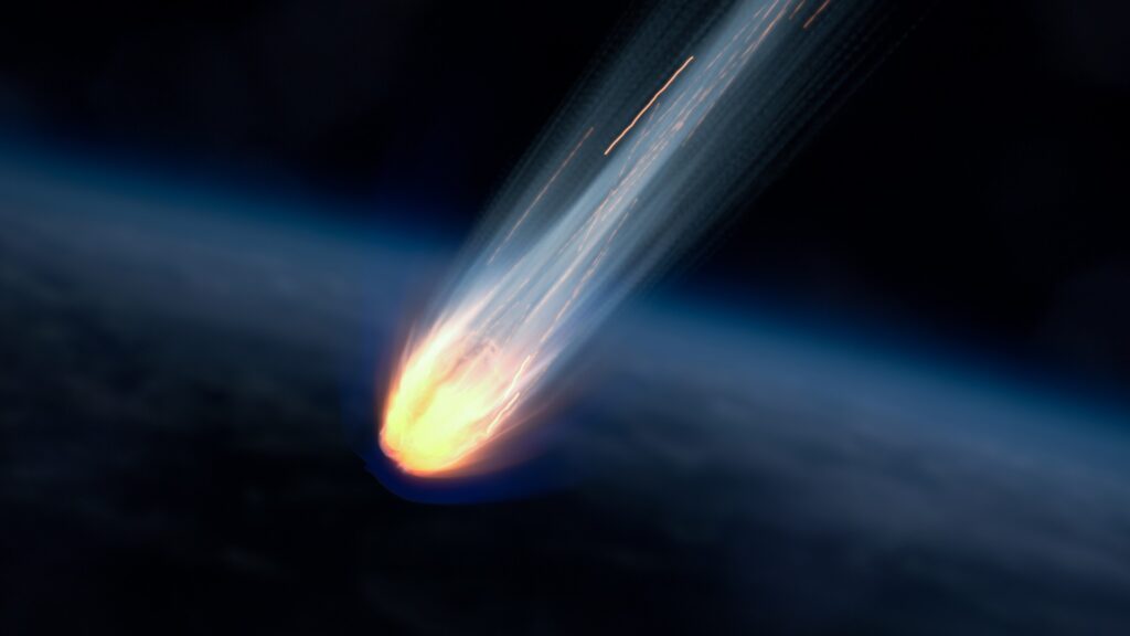
Watch a brilliant ‘fireball’ meteor explode over China on May 28 (video)
Residents of Maoming, China were treated to a celestial light show earlier this week when a... -

This Week In Space podcast: Episode 163 — The Trials of Starship
The Trials of Starship – Starship Flight Test 9 – YouTube Watch On On Episode 163...