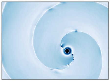
Floating fragments of sea ice spun into intricate patterns as ocean currents carried them south along Greenland’s east coast in spring 2024. The MODIS (Moderate Resolution Imaging Spectroradiometer) on NASA’s Terra satellite captured a moment of this dizzying journey on June 4, 2024.
Related posts
-

Astronomers simulate a star’s final moments as it’s swallowed by a black hole: ‘Breaks like an egg’
The universe is full of spectacular and violent events, but few are more dramatic than a... -

Jack Kaye Retires After a Storied Career at NASA
Jack Kaye has decided to retire on April 30, 2025, following 42 years of service to... -

In Memoriam: Dr. Stanley Sander
Explore This Section Earth Earth Observer Editor’s Corner Feature Articles Meeting Summaries News Science in the...