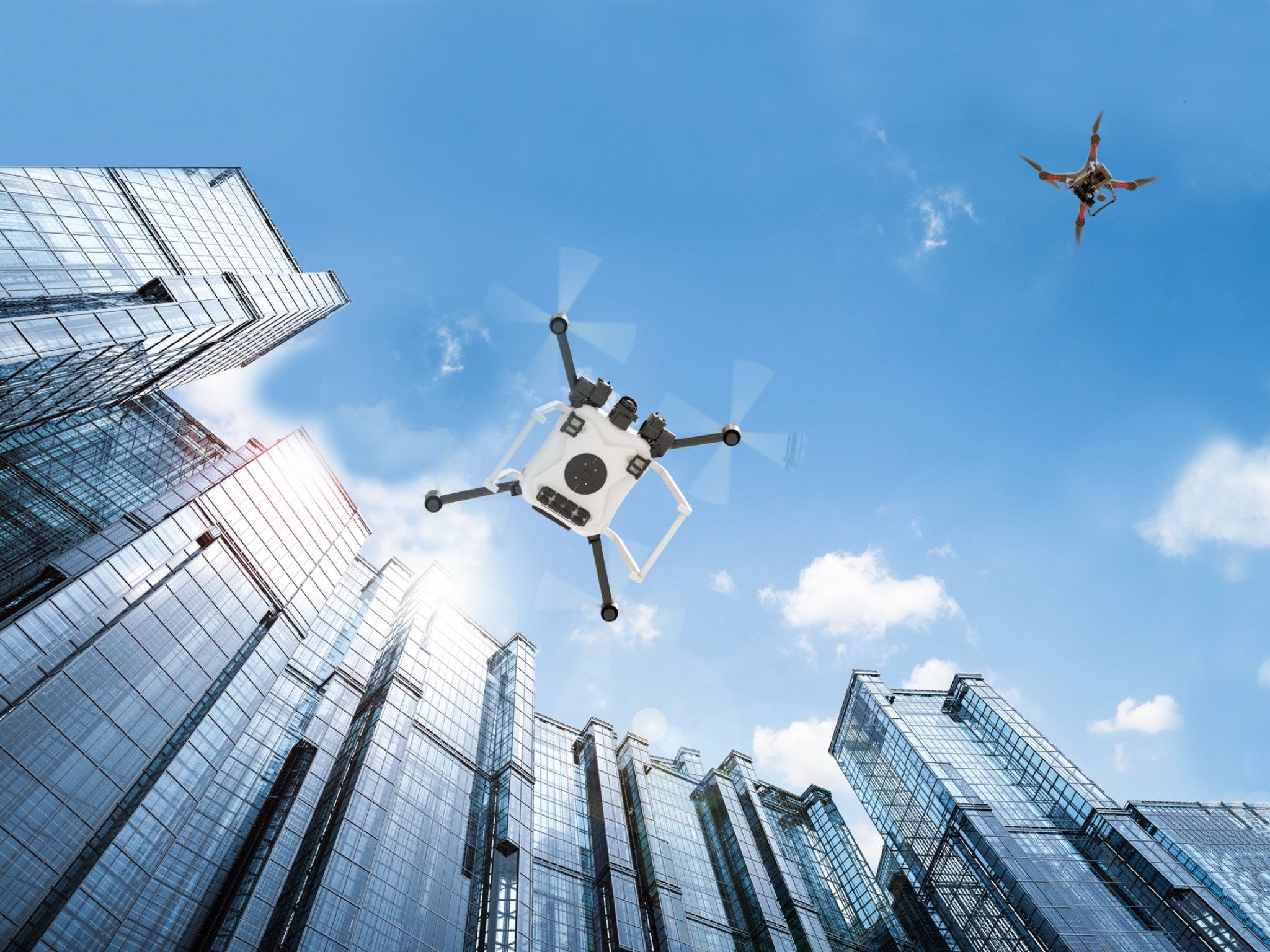
5 min read Preparations for Next Moonwalk Simulations Underway (and Underwater) Artist’s concept of drones flying in an urban environment near large city skyscrapers. NASA / Maria Werries Remotely piloted aircraft could transform the way we transport people and goods and provide our communities with better access to vital services, like medical supply deliveries and efficient transportation. NASA’s Pathfinding for Airspace with Autonomous Vehicles (PAAV) subproject is working with partners to safely integrate remote air cargo and air taxi aircraft into our national airspace alongside traditional crewed aircraft. These new…
Read MoreTag: Air Traffic Management – Exploration
NASA and Partners Scaling to New Heights
3 min read Preparations for Next Moonwalk Simulations Underway (and Underwater) NASA and partners from Aerostar and AeroVironment discuss a simulation of a high-altitude air traffic management system for vehicles flying 60,000 feet and above in the Airspace Operations Lab (AOL) at NASA’s Ames Research Center in California’s Silicon Valley. NASA/Don Richey NASA, in partnership with AeroVironment and Aerostar, recently demonstrated a first-of-its-kind air traffic management concept that could pave the way for aircraft to safely operate at higher altitudes. This work seeks to open the door for increased internet…
Read MoreNASA Cloud-Based Platform Could Help Streamline, Improve Air Traffic
4 min read Preparations for Next Moonwalk Simulations Underway (and Underwater) This image shows an aviation version of a smartphone navigation app that makes suggestions for an aircraft to fly an alternate, more efficient route. The new trajectories are based on information available from NASA’s Digital Information Platform and processed by the Collaborative Departure Digital Rerouting tool. NASA Just like your smartphone navigation app can instantly analyze information from many sources to suggest the best route to follow, a NASA-developed resource is now making data available to help the aviation…
Read More