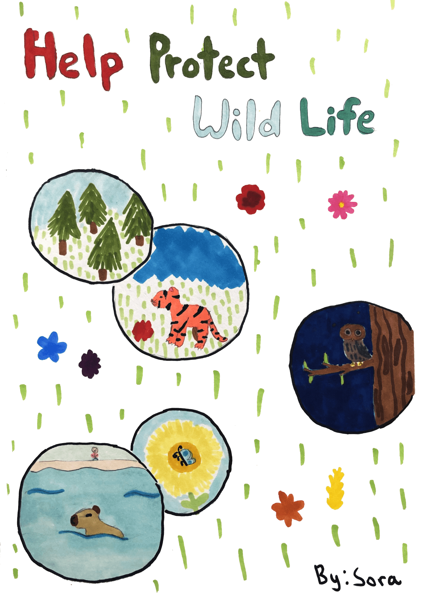
5 Min Read NASA Tests Drones to Provide Micrometeorology, Aid in Fire Response Pilot in command Brayden Chamberlain performs pre-flight checks on the NASA Alta X quadcopter during the FireSense uncrewed aerial system (UAS) technology demonstration in Missoula. Credits: NASA ARC/Milan Loiacono In Aug. 2024, a team of NASA researchers and partners gathered in Missoula, to test new drone-based technology for localized forecasting, or micrometeorology. Researchers attached wind sensors to a drone, NASA’s Alta X quadcopter, aiming to provide precise and sustainable meteorological data to help predict fire behavior. Wildfires…
Read MoreTag: Earth Science Division
NASA Awards Contract for Airborne Science Flight Services Support
NASA has awarded Dynamic Aviation Group Inc. of Bridgewater, Virginia, the Commercial Aviation Services contract to support the agency’s Airborne Science Program. The program provides aircraft and technology to further science and advance the use of Earth observing satellite data, making NASA data about our home planet and innovations accessible to all. This is an indefinite-delivery/indefinite-quantity firm-fixed-price contract with a maximum potential value of $13.5 million. The period of performance began Friday, Jan. 31, and continues through Jan. 30, 2030. Under this contract, the company will provide ground and flight crews…
Read MoreNASA Radar Imagery Reveals Details About Los Angeles-Area Landslides
NASA’s UAVSAR airborne radar instrument captured data in fall 2024 showing the motion of landslides on the Palos Verdes Peninsula following record-breaking rainfall in Southern California in 2023 and another heavy-precipitation winter in 2024. Darker red indicates faster motion. NASA Earth Observatory Analysis of data from NASA radar aboard an airplane shows that the decades-old active landslide area on the Palos Verdes Peninsula has expanded. Researchers at NASA’s Jet Propulsion Laboratory in Southern California used data from an airborne radar to measure the movement of the slow-moving landslides on the…
Read MoreScience Done by Volunteers Highlighted at December’s American Geophysical Union Meeting
More than 30,000 scientists gathered in Washington, D.C. during the second week of December – many to show off the work of NASA’s science volunteers! The American Geophysical Union held its annual meeting of professionals this month – the world’s largest gathering of Earth and Space Scientists. Here’s what they were talking about. Eighteen NASA-sponsored project team members presented discoveries made with volunteers on topics from solar eclipses to global freshwater lake monitoring and exoplanet research. Overall, 175 posters and presentations featured the work of volunteers (up from 137 in…
Read MoreEntrevista con Instructor de OCEANOS Samuel Suleiman
3 min read Preparations for Next Moonwalk Simulations Underway (and Underwater) Samuel Suleiman, instructor de la pasantía OCEANOS, enseña a los estudiantes sobre el sargazo y la ecología costera en la Isla Culebra, Puerto Rico, durante la sección de trabajo de campo del proyecto. Suleiman también es el Director Ejecutivo de Sociedad Ambiente Marino: una ONG puertorriqueña que trabaja en la conservación y restauración de arrecifes de coral. NASA ARC/Milan Loiacono Read this interview in English here ¿Cuál es tu nombre y tu rol en OCEANOS? Mi nombre es Samuel…
Read MoreEntrevista con Instructora de OCEANOS María Fernanda Barbarena-Arias
4 min read Preparations for Next Moonwalk Simulations Underway (and Underwater) María Fernanda Barbarena-Arias (izquierda), profesora asociada de biología e instructora de la pasantía OCEANOS, de pie en la arena de Playa Melones, Isla Culebra, durante la sección de trabajo de campo de la pasantía. NASA ARC/Milan Loiacono Read this interview in English here ¿Cuál es tu nombre y tu rol en OCEANOS? Mi nombre es María Fernanda Barbarena-Arias. Soy una profesora asociada al Departamento de Ciencia Natural, específicamente Biología, en la Universidad Interamericana, en el Recinto Metropolitano. Para OCEANOS,…
Read MoreInterview with OCEANOS Instructor María Fernanda Barbarena-Arias
4 min read Preparations for Next Moonwalk Simulations Underway (and Underwater) María Fernanda Barbarena-Arias (left), an associate professor of biology and instructor for the OCEANOS internship, stands on the sand of Playa Melones, Culebra Island, during the field work section of the internship. NASA ARC/Milan Loiacono What is your name and your role with OCEANOS? My name is María Fernanda Barbarena-Arias. I am an associate professor of biology at the American University of Puerto Rico, Metropolitan Campus. I am also a co-PI in the OCEANOS project, and an instructor and…
Read MoreInterview with OCEANOS Instructor Samuel Suleiman
3 min read Preparations for Next Moonwalk Simulations Underway (and Underwater) Samuel Suleiman, an instructor for the OCEANOS internship, teaches students about sargassum and shore ecology on Culebra Island, Puerto Rico, during the fieldwork section of the project. Suleiman is also the Executive Director of Sociedad Ambiente Marino: a Puerto Rican NGO that works in conservation and coral reef restoration. NASA ARC/Milan Loiacono What is your name and your role with OCEANOS? My name is Samuel Suleiman and I am the Executive Director of Sociedad Ambiente Marino: an NGO in…
Read MoreInterview with OCEANOS Instructor Roy Armstrong
4 min read Preparations for Next Moonwalk Simulations Underway (and Underwater) Roy Armstrong, an instructor for the OCEANOS internship and marine sciences professor, pilots a small boat around the cays off the coast of La Parguera, Puerto Rico. NASA ARC/Milan Loiacono What is your name and your role with OCEANOS? My name is Ray Armstrong and I am a professor in the Department of Marine Sciences of the University of Puerto Rico. I came to be involved in OCEANOS because my ex-student and good friend Juan Torres-Perez, who works at…
Read MoreInternational SWOT Satellite Spots Planet-Rumbling Greenland Tsunami
4 min read Preparations for Next Moonwalk Simulations Underway (and Underwater) A SWOT data visualization shows water on the northern side of Greenland’s Dickson Fjord at higher levels than on the southern side on Sept. 17, 2023. A huge rockslide into the fjord the previous day led to a tsunami lasting nine days that caused seismic rumbling around the world. NASA Earth Observatory Data from space shows water tilting up toward the north side of the Dickson Fjord as it sloshed from south to north and back every 90 seconds…
Read More