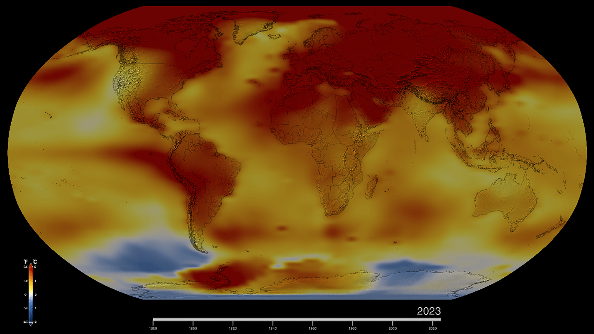
Este mapa de la Tierra en 2023 muestra las anomalías de la temperatura global de la superficie, es decir, cuánto más cálida o más fría estuvo cada región del planeta en comparación con el promedio del período de 1951 a 1980. Las temperaturas normales se muestran en blanco, las superiores a las normales en rojo y naranja, y las inferiores a las normales en azul. Una versión animada de este mapa muestra la evolución de las anomalías de la temperatura global a lo largo del tiempo, desde 1880. Descarga esta…
Read MoreTag: Earth
NASA Analysis Confirms 2023 as Warmest Year on Record
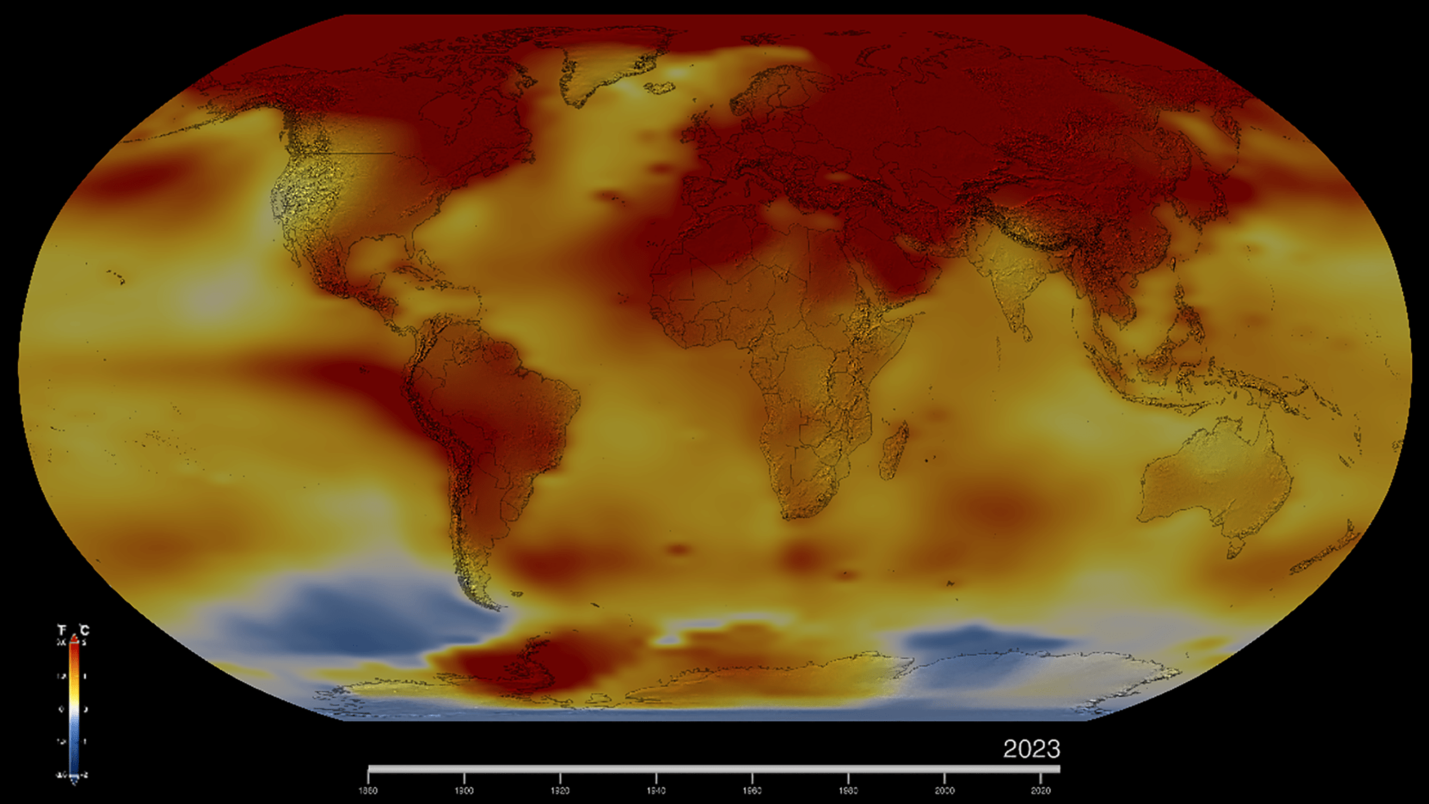
This map of Earth in 2023 shows global surface temperature anomalies, or how much warmer or cooler each region of the planet was compared to the average from 1951 to 1980. Normal temperatures are shown in white, higher-than-normal temperatures in red and orange, and lower-than-normal temperatures in blue. An animated version of this map shows global temperature anomalies changing over time, dating back to 1880. Download this visualization from NASA Goddard’s Scientific Visualization Studio: https://svsdev.gsfc.nasa.gov/5207. NASA’s Scientific Visualization Studio Lee esta nota de prensa en español aquí. Earth’s average surface temperature…
Read MoreNASA’s PACE To Investigate Oceans, Atmospheres in Changing Climate
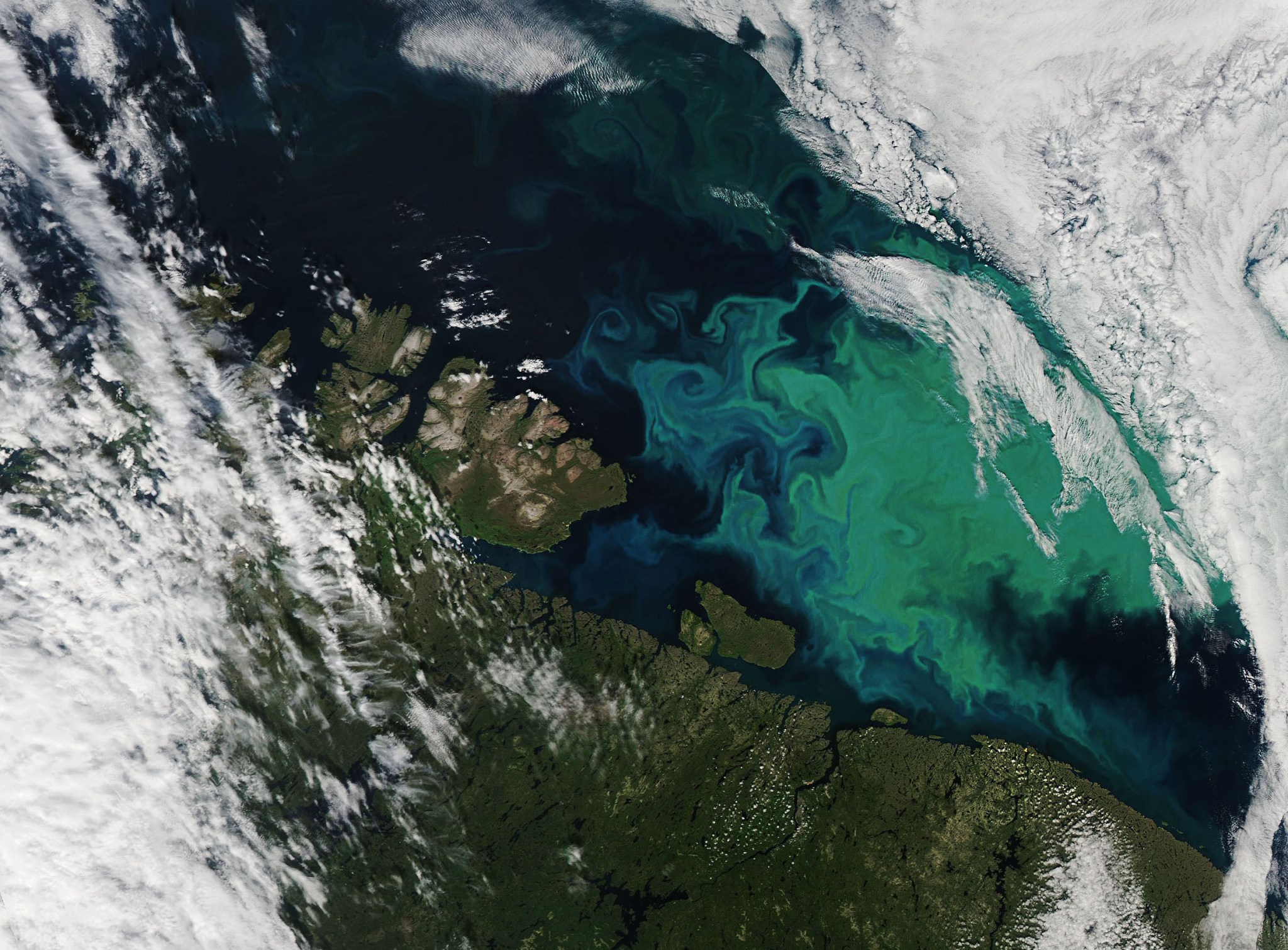
6 Min Read NASA’s PACE To Investigate Oceans, Atmospheres in Changing Climate Earth is complex – the atmosphere, ocean, land, and each small interwoven facet of those systems is a puzzle piece that connects and fills out the full picture. With a changing climate, the puzzle is becoming more complex – and important – to understand. Credits: NASA / Ryan Fitzgibbons and Emme Watkins Earth’s oceans and atmosphere are changing as the planet warms. Some ocean waters become greener as more microscopic organisms bloom. In the atmosphere, dust storms born on…
Read MoreNASA, NOAA to Announce 2023 Global Temperatures, Climate Conditions
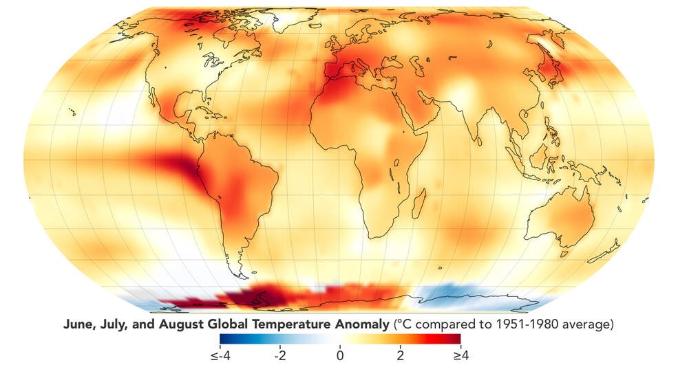
This map depicts global temperature anomalies for meteorological summer in 2023 (June, July, and August). It shows how much warmer or cooler different regions of Earth were compared to the baseline average from 1951 to 1980. Climate researchers from NASA and NOAA (National Oceanic and Atmospheric Administration) will release their annual assessments of global temperatures and discuss the major climate trends of 2023 during a media briefing at 11 a.m. EST Friday, Jan. 12. NASA will stream audio of the briefing on the agency’s YouTube. Participants will include: Kate Calvin,…
Read MoreCrystal-studded space rock found in the Sahara may rewrite the history of the early solar system
This article was originally published at The Conversation. The publication contributed the article to Space.com’s Expert Voices: Op-Ed & Insights. In May 2020, some unusual rocks containing distinctive greenish crystals were found in the Erg Chech sand sea, a dune-filled region of the Sahara Desert in southern Algeria. On close inspection, the rocks turned out to be from outer space: lumps of rubble billions of years old, left over from the dawn of the solar system. They were all pieces of a meteorite known as Erg Chech 002, which is the oldest volcanic rock…
Read MoreEarth’s core wobbles every 8.5 years, new study suggests
Scientists in China recently made a discovery at the heart of our planet: Every 8.5 years, the Earth’s inner core wobbles around its rotational axis. This shift is likely caused by a tiny misalignment between the inner core and the Earth’s mantle—the layer below the Earth’s crust, according to the researchers’ new study. Starting around 1,800 miles (2896 km) beneath the surface, Earth’s core is split into a swirling liquid outer boundary and a mostly solid inner layer. This region is partially responsible for a number of our planet’s geophysical…
Read MoreHow the runaway greenhouse gas effect can destroy a planet’s habitability — including Earth’s
Using advanced computer simulations, scientists have shown how easily a runaway greenhouse effect can rapidly transform a habitable planet into a hellish world inhospitable to life. Not only does this research have implications for our understanding of extrasolar planets, or “exoplanets,” but it also offers insight into the human-driven climate crisis on Earth. The team of astronomers from the University of Geneva (UNIGE) and CNRS laboratories of Paris and Bordeaux saw that after initial stages of a planet’s climate transformation, the planet’s atmosphere, structure and cloud coverage get significantly altered,…
Read MoreHow many times has Earth orbited the sun?
When you’re standing on Earth’s surface, it’s easy to forget that our planet is hurtling around the sun at more than 67,000 mph (107,800 km/h). And it’s even easier to forget that there are seven other planets also making their way around our home star at similar breakneck speeds, or that all eight have been ceaselessly circling the solar system for billions of years. But what might really blow your mind is finding out how many trips around the sun each planet has under its belt. This may seem like…
Read MoreUnderwater volcano riding a sinking tectonic plate may have unleashed major earthquakes in Japan
An ancient underwater volcano riding a sinking tectonic plate off the coast of Japan may have unleashed several unexplained major earthquakes — by grinding against another tectonic plate above it, a new study finds. The extinct underwater volcano, known as Daiichi-Kashima seamount, sits on the Pacific tectonic plate roughly 25 miles (40 kilometers) off Japan’s east coast. There, three tectonic plates intersect — with the Pacific plate to the east and the Philippine plate to the south both slipping beneath the Okhotsk plate to the north. The seamount sits on…
Read MoreNASA Sensor Produces First Global Maps of Surface Minerals in Arid Regions
NASA’s EMIT produced its first global maps of hematite, goethite, and kaolinite in Earth’s dry regions using data from the year ending November 2023. The mission collected billions of measurements of the three minerals and seven others that may affect climate when lofted into the air as dust storms. NASA/JPL-Caltech EMIT delivers first-of-a-kind maps of minerals in Earth’s dust-source areas, enabling scientists to model the fine particles’ role in climate change and more. NASA’s EMIT mission has created the first comprehensive maps of the world’s mineral dust-source regions, providing precise…
Read More


