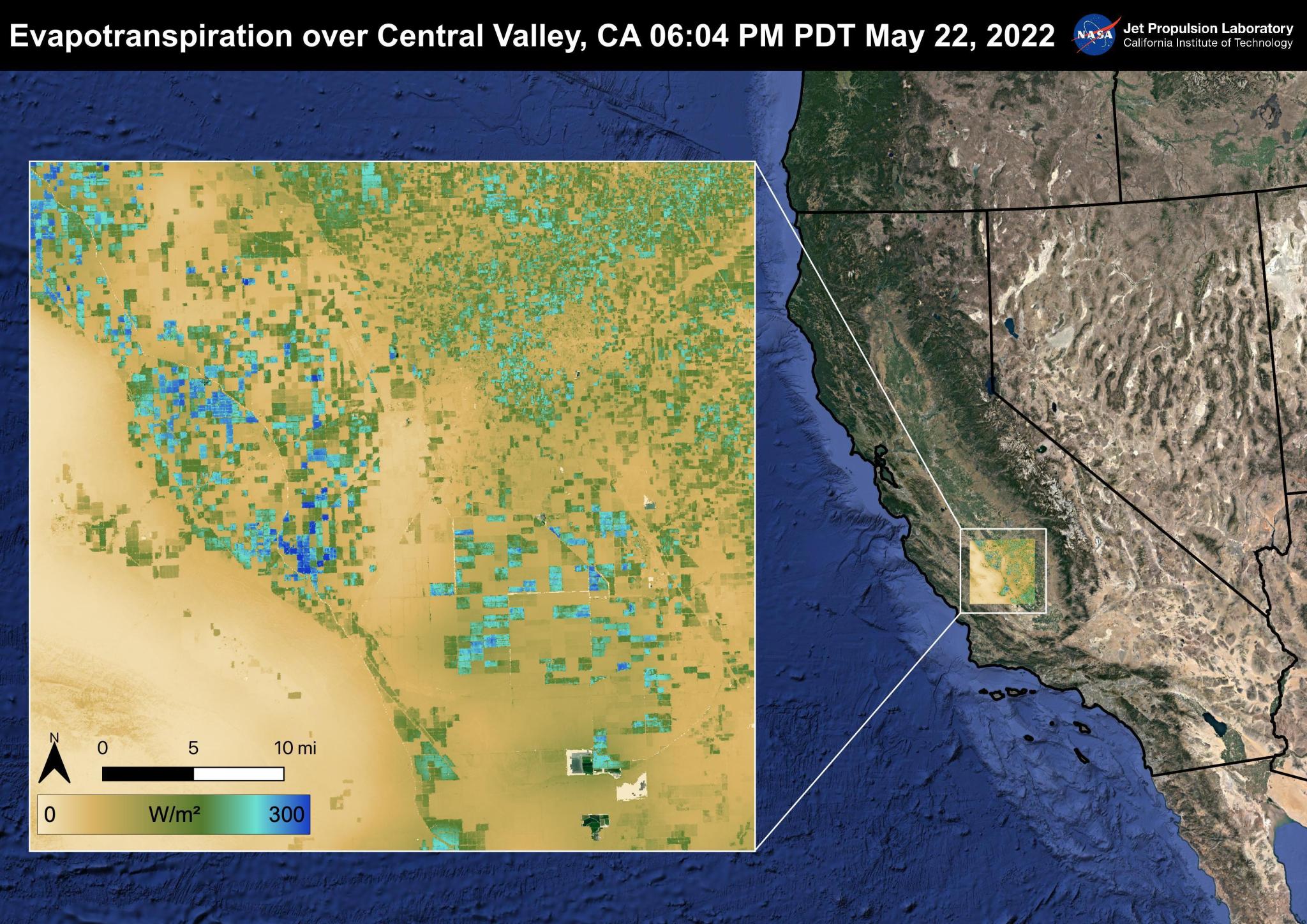
Measurements from space support wildfire risk predictions Researchers demonstrated that data from the International Space Station’s ECOsystem Spaceborne Thermal Radiometer Experiment on Space Station (ECOSTRESS) instrument played a significant role in the ability of machine learning algorithms to predict wildfire susceptibility. This result could help support development of effective strategies for predicting, preventing, monitoring, and managing wildfires. As the frequency and severity of wildfires increases worldwide, experts need reliable models of fire susceptibility to protect public safety and support natural resource planning and risk management. ECOSTRESS measures evapotranspiration, water use…
Read MoreStation Science Top News: Jan. 10, 2025