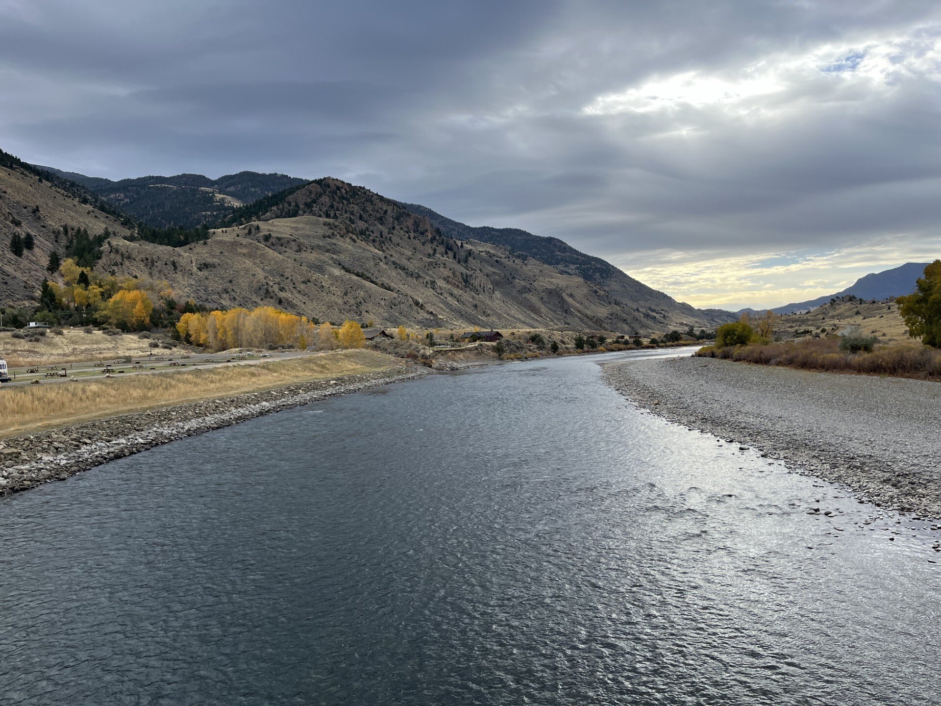
International SWOT Mission Can Improve Flood Prediction 

6 Min Read International SWOT Mission Can Improve Flood Prediction  Flooding on the Souris River inundated this community in North Dakota in 2011. The U.S.-French SWOT satellite is giving scientists and water managers a new tool to look at floods in 3D, information that can improve predictions of where and how often flooding will occur. A partnership between NASA and the French space agency, the satellite is poised to help improve forecasts of where and when flooding will occur in Earth’s rivers, lakes, and reservoirs. Rivers, lakes, and reservoirs are…

Read More

NASA-Led Study Provides New Global Accounting of Earth’s Rivers

5 min read Preparations for Next Moonwalk Simulations Underway (and Underwater) The Colorado River supplies water to more than 40 million people as it snakes through seven U.S. states, including the part of southeastern Utah seen in this photo snapped by an astronaut aboard the International Space Station. The Colorado basin was identified in a NASA-led study as a region experiencing intense human water use. NASA The novel approach to estimating river water storage and discharge also identifies regions marked by ‘fingerprints’ of intense water use. A study led by…

Read More

SWOT Satellite Helps Gauge the Depth of Death Valley’s Temporary Lake

Water depths in Death Valley’s temporary lake ranged between about 3 feet (or 1 meter, shown in dark blue) to less than 1.5 feet (0.5 meters, light yellow) from February through early March. By measuring water levels from space, SWOT enabled research to calculate the depth. NASA/JPL-Caltech Data from the international Surface Water and Ocean Topography mission helped researchers to calculate the depth of water in this transient freshwater body. California’s Death Valley, the driest place in North America, has hosted an ephemeral lake since late 2023. A NASA-led analysis…

Read More

SWOT Satellite Catches Coastal Flooding During California Storms

4 min read Preparations for Next Moonwalk Simulations Underway (and Underwater) This image shows SWOT satellite data for water surface height in part of Mendocino County, Northern California, on Jan. 15, before several atmospheric rivers arrived, and on Feb. 4, after the first storms. Light blue and green indicate the highest water levels relative to mean sea level. (Inland water heights include the underlying ground elevation.) NASA/JPL-Caltech Operated by NASA and the French space agency, the Surface Water and Ocean Topography mission provides a new view of water on land,…

Read More